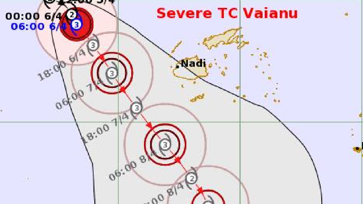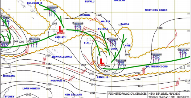
Expect heavy rain and flooding for the next few days as the Nadi Weather Office says a low-pressure system is anticipated to develop to the far west of Fiji and likely to intensify into a disturbance and possibly into a tropical depression and to move closer to Fiji this weekend.
The Weather Office confirms that the chance of the system developing into a tropical cyclone while remaining to the west of Fiji is high by Sunday.
Depending on how far from the group it tracks, it is likely to bring strong winds especially over the northern parts of the Group, Yasawa and Mamanuca Groups, western Viti Levu from Sigatoka to Rakiraki, which could even increase to damaging winds early next week.
The Weather Office says the actual track, intensity and timing of the system remain uncertain and will become clearer as the system draws closer to the country.
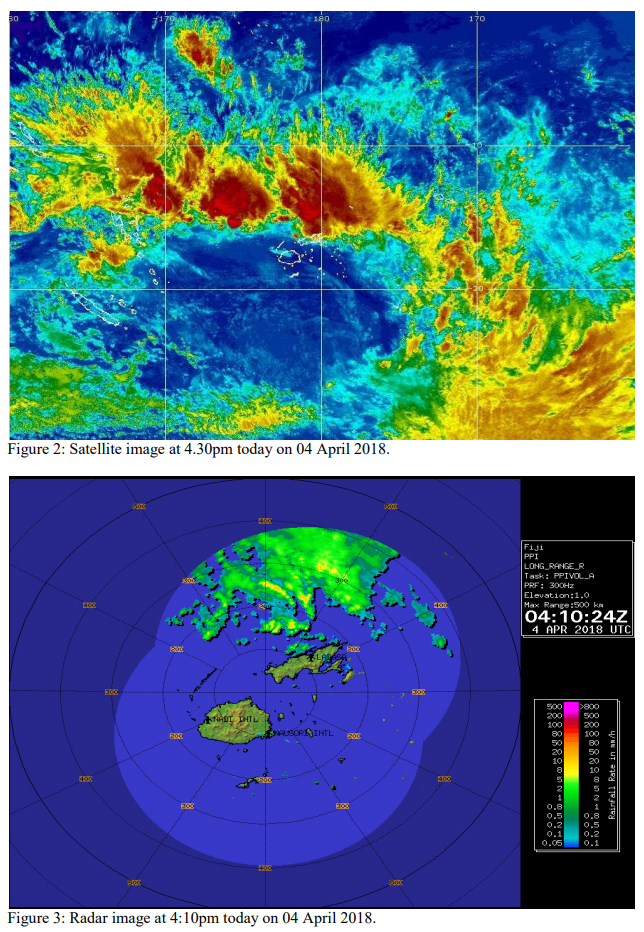
As the system moves closer to the Group, expect periods of heavy rain and thunderstorms with rough to very rough seas in the weekend and could even increase to high seas.
Damaging heavy swells is also expected with high risk of severe river flooding especially to affect the Western Division again as more than 100mm of rainfall in 24 hours can be anticipated out of the system as it passes southwest of the Fiji Group.
People living in flood-prone and low lying areas are reminded to take all necessary precaution and remain alert and to keep listening to us for latest weather updates.
The Weather Office will continue monitoring the situation closely and any alert and warning will be issued as and when necessary.

Stay tuned for the latest news on our radio stations