The Bureau of Statistics will be using mapping drones to collect data and improve imagery when collecting information for the 2017 Population and Household Census.
Drone Services Fiji is conducting a pilot project in the Suva-Nausori corridor for a week, collecting data that would be used to process accurate images of squatter settlements.
Drone Services Fiji’s Technical Director Richard Russell says processed images would be uploaded to google map that would be accessed by Area Coordinators on their tablets that would see to increase efficiency when gathering information.
Russell says this information would allow officers to get accurate data and avoid double recording of areas surveyed.
Russell says in one week, they have mapped out 27 squatter regions with accurate and up to date information.
He used the example that to map out Wailea squatter settlement to provide images would take two days, but with the drone system it would take 20 minutes.
Russell says officers will be using “WHAT 3 WORD” app that would help access data and avoid double recording of information.
Government Statistician Epeli Waqavonovono says they are happy with the services provided by Drone Fiji that has made their work a lot more easier.
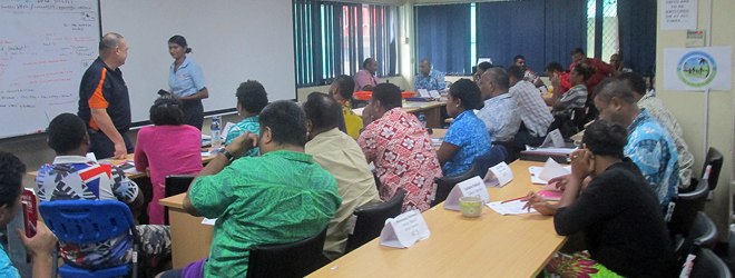
Waqavonovono says training is currently underway with Area Coordinators, and they are recruiting Supervisors and Enumerators who will go into the field to collect data.
September 17th is Census night and the data collection period will be from 18th September to the 8th of October.
Preparatory works started last year with the mapping exercise for the 2017 census and the country will be subdivided into 2,000 Enumeration Areas.